New Image Catalogue
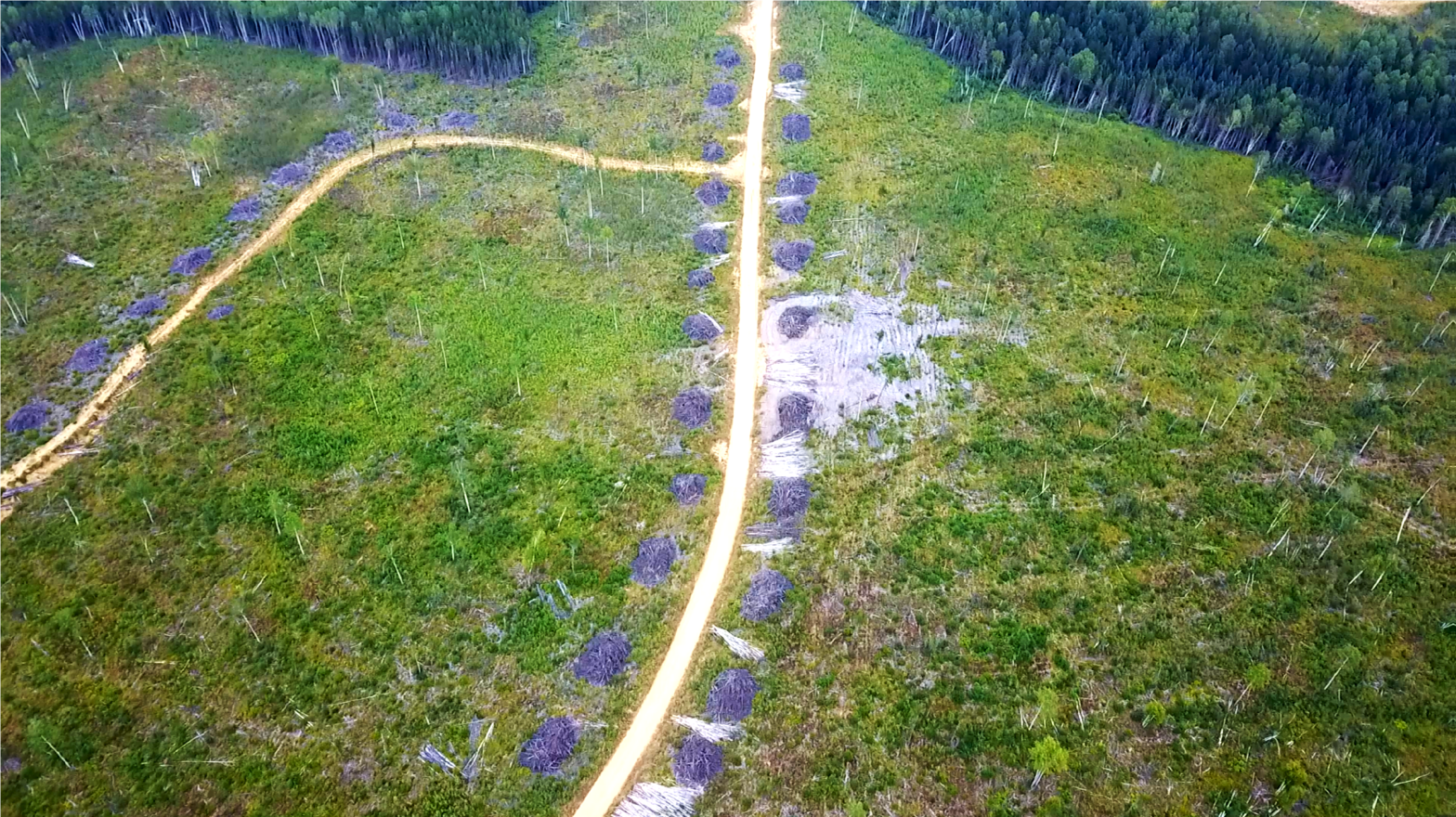
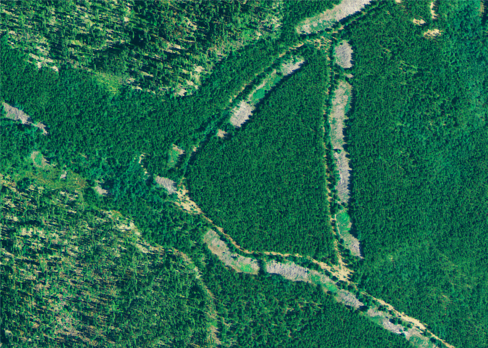
As a follow up to Wildlands’ Logging Scars study (Dec. 2019), which provided an in-depth analysis and measurement of the long-term impacts of roads and roadside footprints from 27 clearcut logging sites, a new technical supplement released on July 30, 2020 shows similar barren scars across 264 additional sites in the study area.
To recap, here are the original 2019 investigation materials:
A new investigation, Boreal Logging Scars, reveals Canada’s deforestation by forestry is much larger than what was previously known.
The study reports for the first time that approximately 21,700 ha are deforested each year in the boreal forest of Ontario which is seven times greater than the reported rate of deforestation by forestry for all of Canada (average is approx. 2,800 ha/year). This is despite the fact only 17% of Canada’s logging takes place in that province.
The associated carbon cost is nationally significant and already represents 16.5 Mt C02 equiv. of lost carbon sequestration in the last 30 years. This is how much carbon dioxide would have been taken up by growing trees had roads and landings not displaced them.
And it’s a cost that is projected to grow to 41 Mt C02 equiv. by 2030, which is more than a year of emissions from all the passenger vehicles in Canada.
Explore the Boreal Site Coordinates
Boreal Logging Scars – A Summary for Decision Makers (300 Mb)
Technical Supporting Materials (600Mb)